Subsurface Utility Mapping Services
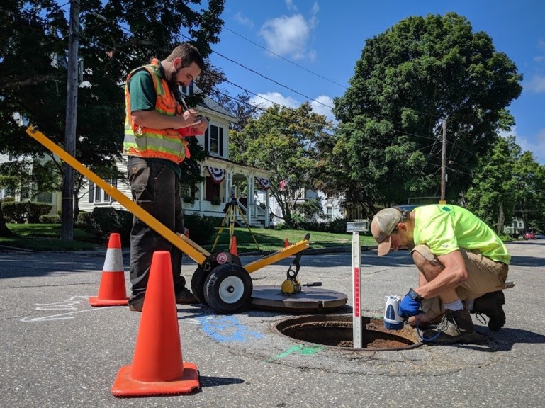
Commonly known as S.U.E., subsurface utility mapping involves the cost-effective collection, depiction, and management of existing subsurface utility information. Subsurface utilities are identified by means of record research, a surface geophysical mark-out, and/or minimally intrusive excavation techniques. The quality and reliability of the utility information is depicted by four Quality Levels as defined by CI/ASCE 38-02, “Standard Guideline for the Collection and Depiction of Existing Subsurface Utility Data.” Each of the Quality Levels reflects the method of data collection and serves to communicate the risk management associated with the utility information.
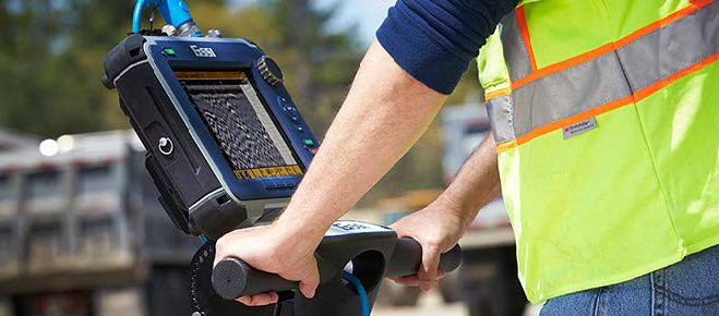
Our staff has been performing utility mark-outs and geophysical surveys for subsurface detection since 2008. We offer state-of-the art geophysical equipment including a suite of electromagnetic utility locating instruments, metal-detection, and dual frequency ground penetrating radar.

Why are S.U.E. Services Important
Unreliable subsurface utility information is a major problem during design and construction projects and can lead to costly redesigns, project delays, damage to existing utilities, and increased risk of injury. By bringing in S.U.E. services early in a project, it has been proven to reduce damages, resolve conflicts prior to construction, avoid unnecessary utility relocations, save money, and save lives.

Utility Quality Levels
Level A – Precise horizontal and vertical location of utilities obtained by the actual exposure and subsequent measurement, usually at a specific point. Minimally intrusive excavation equipment is typically used to minimize the potential for utility damage.
Level B – Information obtained through the application of appropriate surface geophysical methods to determine the existence and approximate horizontal position of subsurface utilities.
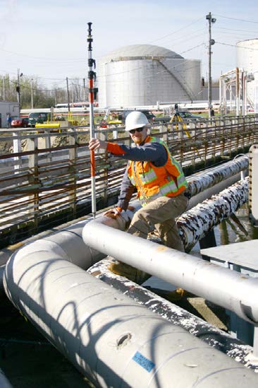
Level C – Information obtained by surveying and plotting visible above-ground utility features and by using professional judgement in correlating this information to quality Level D information.
Level D – Information derived from existing records or oral recollections.

When/Where to use S.U.E. Services?
• Public Works
• Municipal Agencies
• Power Plants
• Commercial Developers
• College Campuses
• Environmental Remediation
• Utility Facilities
• Power Plants
• Military Bases
• Airports
• Healthcare Institutions
• Railroad/Rapid Transit
• Manufacturing Facilities
• Geotechnical Projects
