Mapping and GIS
Mapping & GIS Experience
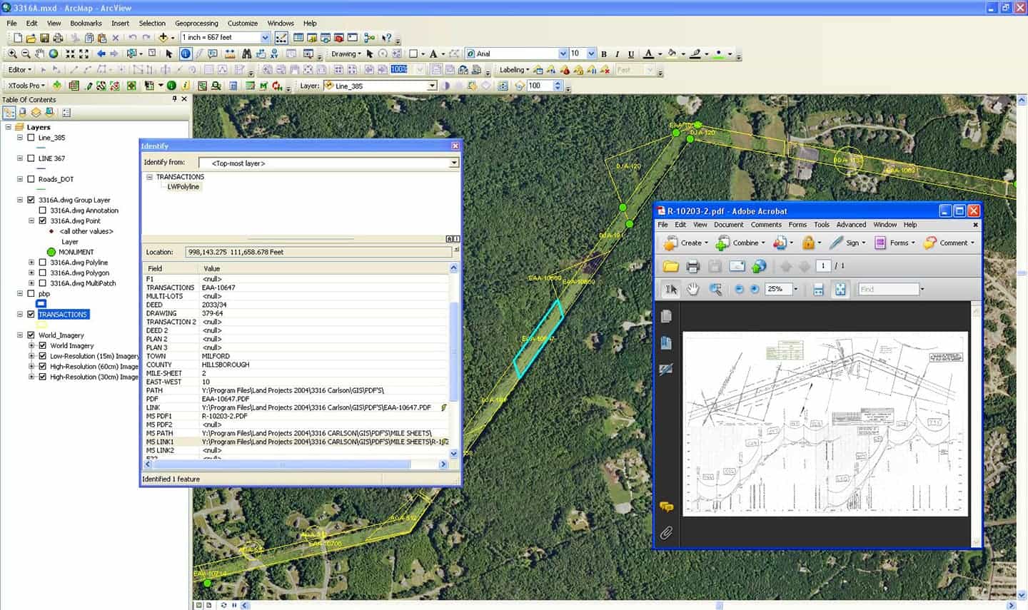
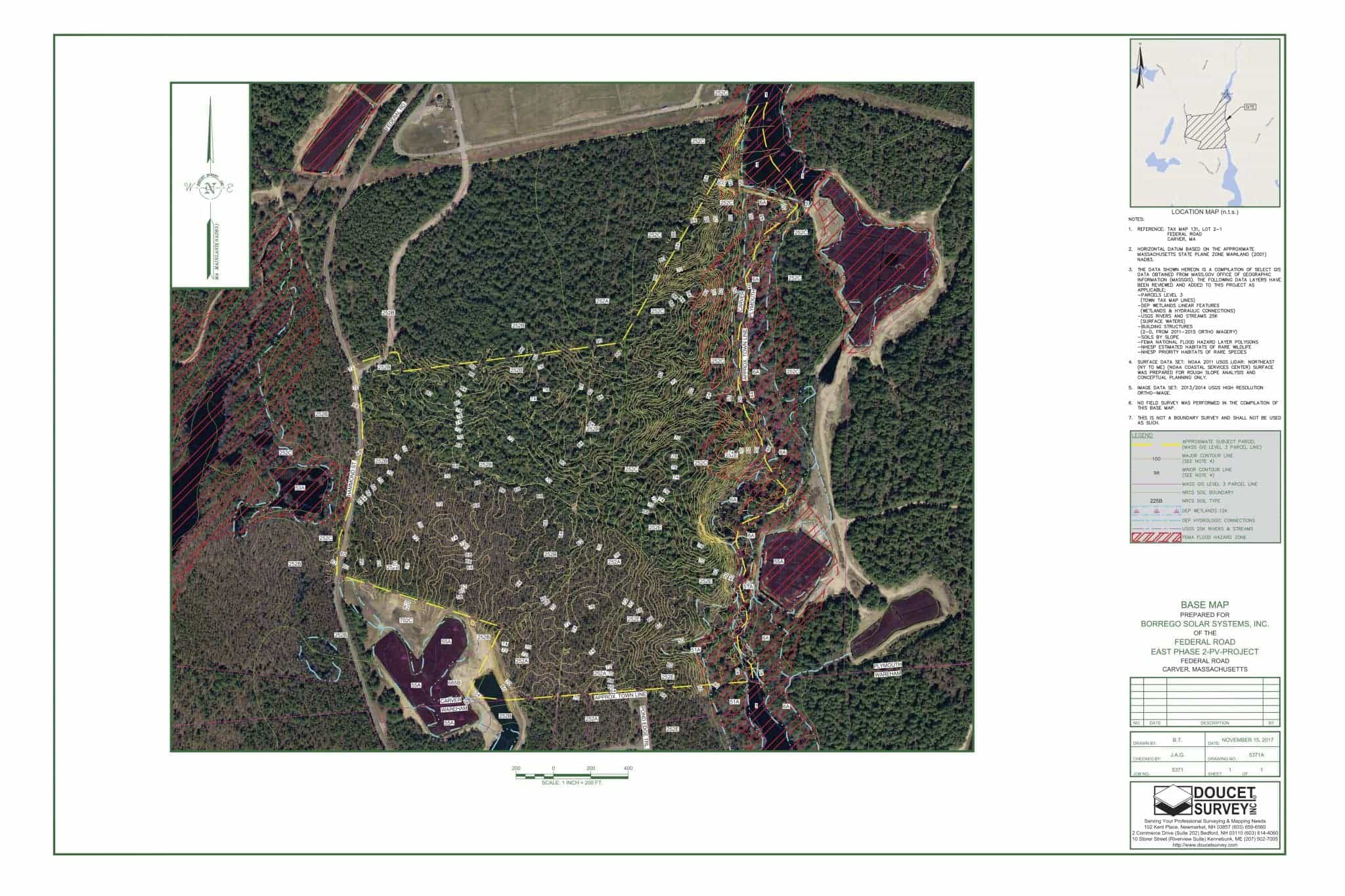
For those projects where a high level of detail is necessary for planning purposes, we provide a variety of efficient land mapping and GIS skills and technology. We assist clients with site assessment and pre-closing due diligence by compiling base maps that can be based on online GIS & zoning data, or mapping grade on-site location of features such as jurisdictional lines. This ensures there are no surprises in the planning process.

Base Maps
- 100+ Base Maps for Solar Site Assessment
- US Marine Corps Recruitment GIS Maps
- 100+ miles of Wetland Flag Mapping Utility Corridors for Conceptual Design Purposes
- Residential & Commercial Base Maps for Site Assessment & Due Diligence

Testimonial
Borrego Solar has been designing and constructing systems since 1980, totaling to more than 220 MW of solar capacity. Doucet Survey has provided over 125 base maps for sites throughout New England. These base maps are compilations of a wide variety of data sources including state and federal GIS shapefile data and NOAA Lidar data. This information is compiled by our award-winning CAD department using ESRI ArcMap and Autodesk Civil3D.
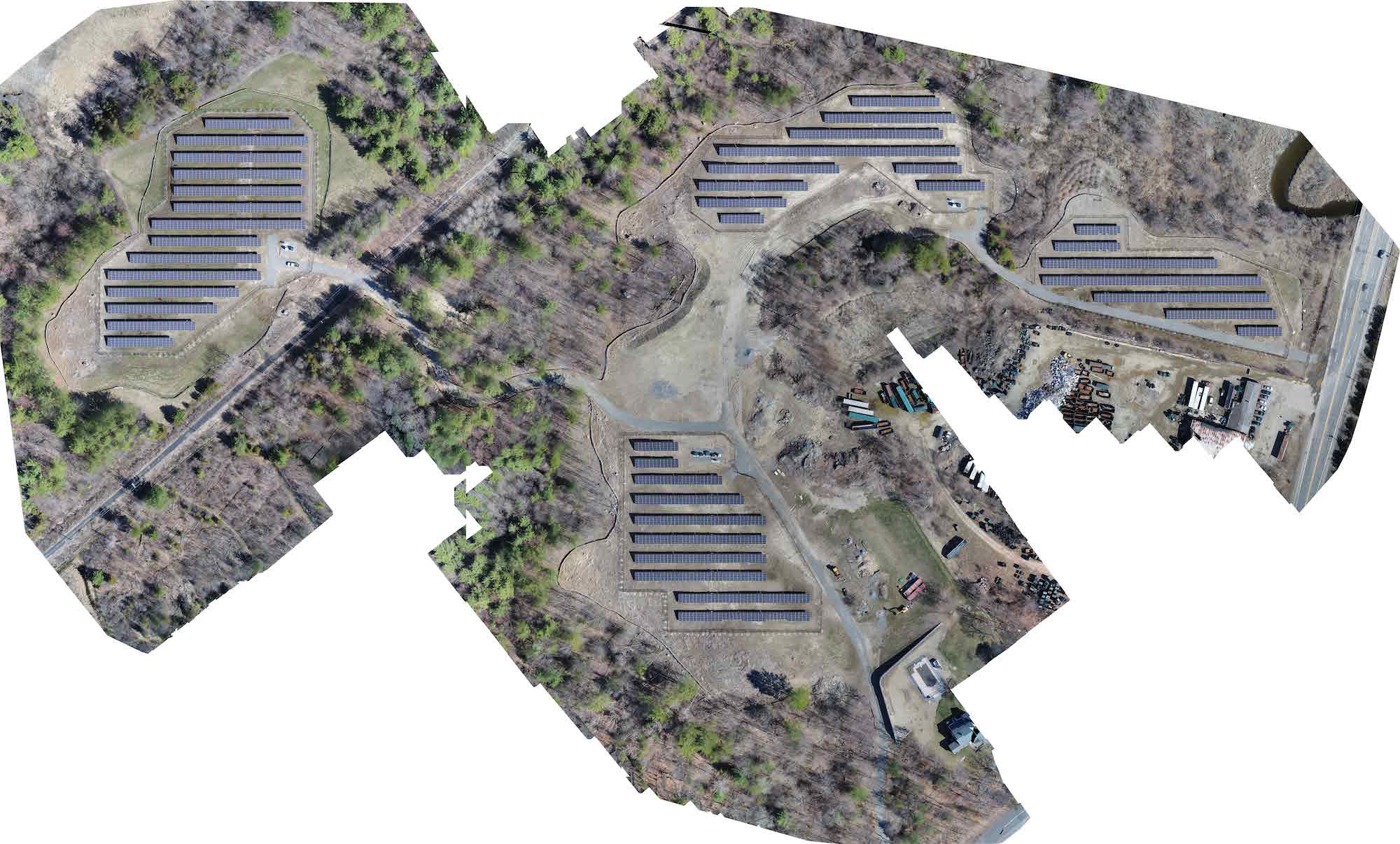
In 2014 at the site evaluation phase, we compiled a base map. Once approved for design, we completed a boundary and topographic survey. We also provided construction layout. After construction, we completed an ALTA Land Title Survey which included using our UAV. In 2017 the 2409.75 kW DC STC site began generating electricity.
– Borrego Solar

Combining GIS and Mapping Data we can help expedite your planning process
Tell us a little about your project and we’ll be in touch shortly.