UAV Services
UAV and Drone Solutions
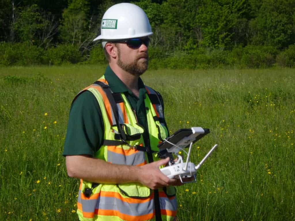
Doucet Survey’s UAV team and FAA Certified Remote Pilot fly drones over a variety of sites and provide a wide range of deliverables to our clients. Our UAV capabilities reduce data collection time, increases safety for personnel, increases measurement density and produces highly communicative deliverables.

UAV Projects Completed
- Commercial, Residential & Industrial As-Builts
- Topographic Mapping
- Construction Progress Monitoring
- Video Inspection
- Cemetery Mapping
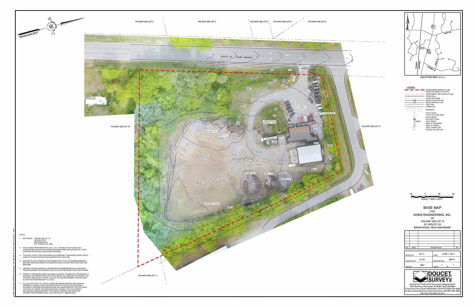
- Base Mapping for Conceptual Design
- Earthwork Volumetric Calculations & Monitoring
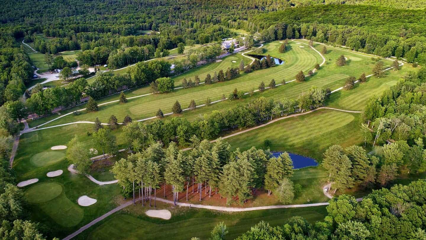
- Aerial Photography & Imaging
- Conservation Easement Monitoring

Testimonial
“It’s amazing. This technology has helped me give the engineers a real understanding of the sites without having to perform a site walk. It’s also helped me work through concepts with clients. As they say, a picture is worth a thousand words. I say a scaled HD photo is worth a million! Thanks for the quick turn around on these projects.”
– Brett Kay, Project Manager, Nobis Engineering

Highlights & Hurdles
Unmanned aerial vehicles used for survey mapping require a significant investment in hardware/software training and testing. This, in addition to our measurement expertise as professional surveyors, give us the ability to generate accurate, repeatable and reliable measurements for design and monitoring purposes.
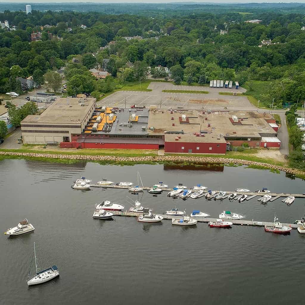
Newburyport ALTA/NSPS Land Title Survey
Challenge: A loyal client with a real estate closing in two weeks on a commercial waterfront property.
Solution: A reduction in field and drafting time by 50% by using our UAV, and supplemented with conventional survey. We delivered on time and on budget. The high-resolution photo helped lay people better understand the property.

Do you have a project where our UAV may be of high value?
Send us a message and our UAV Team will be in touch shortly.